

Northborn
The Map
North Sea, Skagerrak, Kattegat and the Baltic: 128 kilometres from top to bottom.
World map
The game area of Northborn
The map shows parts of Norway, Sweden and Denmark as well as the North Sea, Skagerrak, Kattegat and the Baltic Sea. North is up. From top to bottom it is 128 kilometres, and the same from left to right.
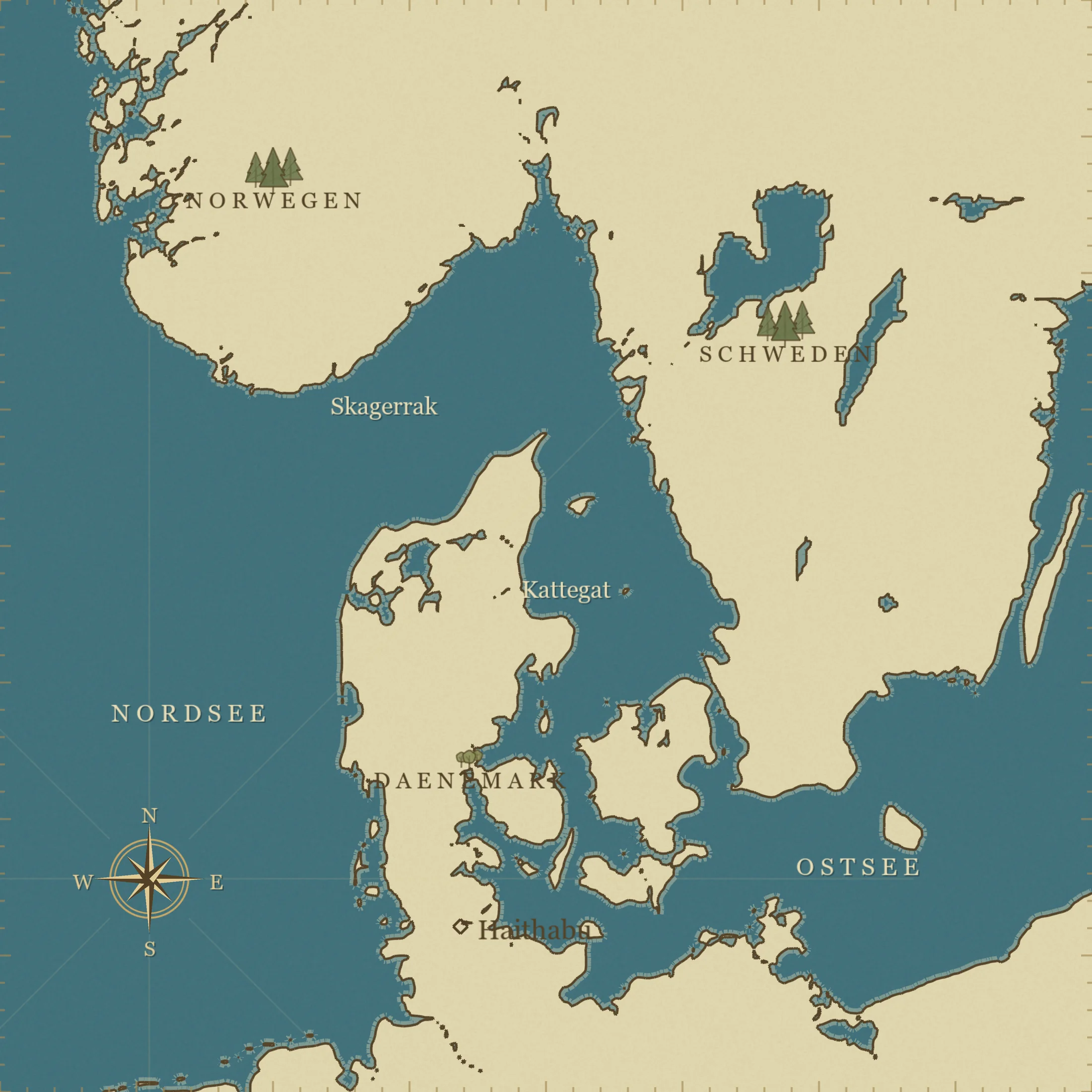
Haithabu · where every journey begins
Reading the map
Where you are
- The North Sea lies to the west.
- The Skagerrak lies between Norway and Denmark.
- The Kattegat lies between Jutland and Sweden.
- The Baltic Sea joins in the southeast.
- Haithabu lies in the south of Jutland, close to the southern edge of the map.
Haithabu, the starting point of every journey, is marked on the map. “Show grid” reveals squares of 16 × 16 kilometres; “Measure distance” gives the straight line between two points. The place names on the map are in German.
Distances matter.